After four dry days, especially yesterday’s cracking day, we woke to heavy rain. It didn’t look promising and we couldn’t check the forecast as there was no phone signal and no WiFi. There wasn’t much point anyway, we just needed to get going and walk home as this was the fifth and final day of our trek.
The first section was across fields at the foot of Kinderscout and along the valley track from Upper Booth to the bridge at the foot of Jacobs Ladder. This is now the official route for the Pennine Way but when I did it in 1974 it went straight across the Kinderscout plateau to the Downfall.
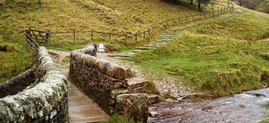
Jacobs Ladder Bridge
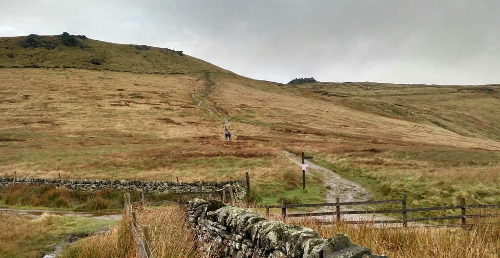
Swine Back and Kinderscout from top of Jacobs Ladder
From the top of Jacobs Ladder there was a motorway path of stone slabs across what used to be a wide path across deep bog. We headed for South Head. The rain had stopped after about 90 minutes but there was a chilly wind so we had to stop and find our hats and gloves.
The last section was still trackless bog…. the slabbed path had run out. From here it was a short climb to the top of South Head, the final hill of our route.
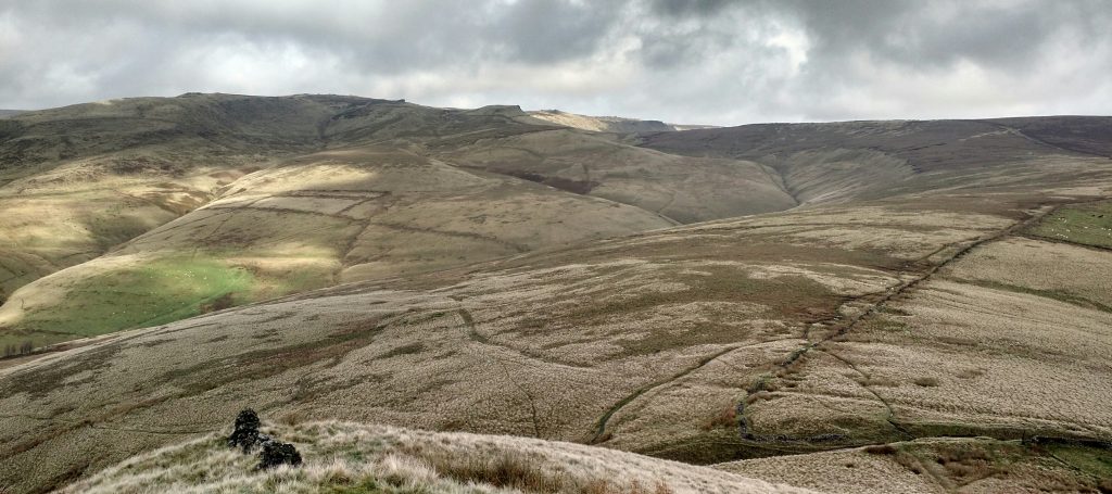
Kinderscout from South Head, dull lighting
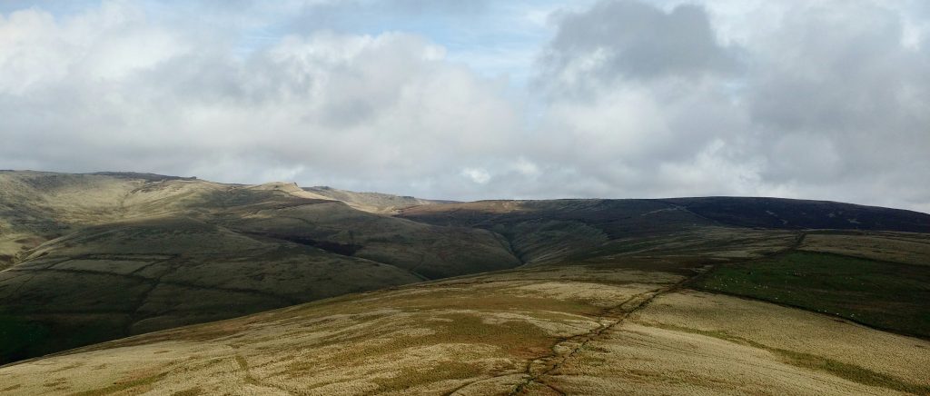
Kinderscout from South Head, sunny, a few minutes after the shot above
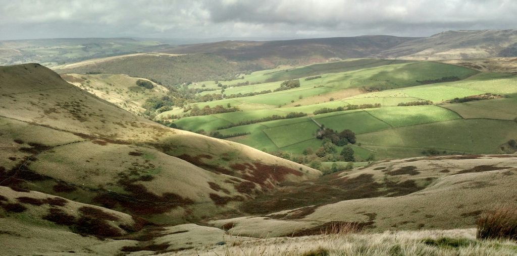
View from South Head, Mount Famine on the left
I walk South Head several times a year, it’s one of my favourite Peak District views. From South Head we headed down to Chinley and then the Old Hall Inn in neighbouring Whitehough. After a final pint we skirted around the side of Eccles Pike, across some fields and down the path to arrive home in Tunstead Milton, 5 hours or so after leaving Edale 10 miles away.
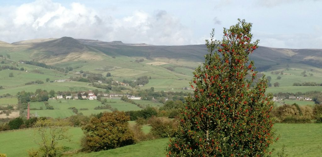
South Head and Kinderscout from Lydgate
In summary, we walked for 5 days, 56 miles, 4 dry days including 1 sunny day, 90 minutes of rain, 35 images on Ilford 400 Delta using my Mamiya 7 camera with 65mm lens and mostly yellow filter but a few with an orange filter. All the photos on this blog were taken on mobile phones.
Oh, we also visited 13 hostelries along the way and I tried to keep to the government recommended 5 a day, I assume it refers to pints of real ale. That makes it about 18 mpg beer……..
Here’s a couple of shots taken by Jan on the 4th day, both near Peak Forest en-route to Castleton.
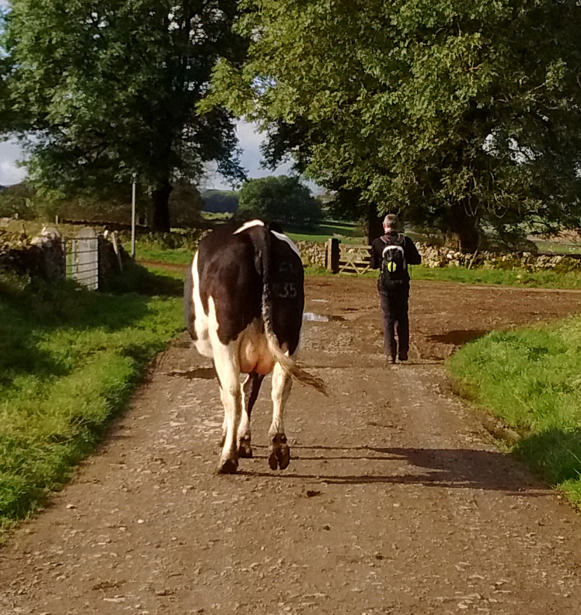
One man and his dog cow
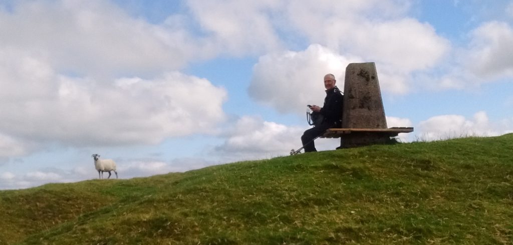
Dave Butcher and Sheep near Peak Forest