Monthly Archives: May 2017

New video on choosing and using 6 different Durst and DeVere enlargers

I have published a new Tutorial, with video, on my www.darkroomdave.com site on choosing and using various Durst and DeVere enlargers to print with Ilford Multigrade papers.

It covers the Durst M670 BW, Durst M670 Color, Durst 138S with Ilford Multigrade MG500 head, DeVere 203 Varicon, DeVere 203 Varicontrast, DeVere 504 with Ilford Multigrade MG500 Head.

Cotswold Way Alderley to Randwick

Day 4 and another sunny day on the Cotswold Way. We had a bit of a delayed start as I had mislaid my sun hat. No sign of it in either car or my rucsac. A quick phone call to the Dog Inn in Old Sodbury established that I had left it there after we finished yesterday. I’m not used to wearing and having to look after a sun hat in the Peak District!

Hat retrieved and we were on our way at the crack of 11.30am! In a bit under 2 hours we were back in the Swan in Wotton under Edge, where we stayed last night.

After refreshments we were on our way heading up Wotton Hill, a good viewpoint from the edge over the surrounding, mainly flat, countryside. There were several ups and downs today so a bit more of what we’re used to in the Peak District. Very warm too, car gauge registered 24°C at the start and 28°C at the end.

There was another tower monument. This time dedicated to William Tyndale, one of the men who translated the Bible. From here we dropped down to farmland for the last section to Dursley. We stayed at Underhill House, a b&b next door to the Old Spot Inn.

Wotton under Edge

IMG_20170526_224927

IMG_20170526_225034

IMG_20170526_224644

Field of barley

IMG_20170526_225706

Tyndale monument

TIMG_20170526_225608

IMG_20170526_225221

The forecast for day 5 wasn’t good, showers of rain until early afternoon. We could see rain in the distance but we stayed dry and a pleasant 17°C. No need for waterproofs for any of the 5 days.

After shuttling cars around we were on our way out of Dursley. There were a few small ups and downs to get the heart pumping but nothing major. As yesterday, lots of woods to walk through with views every now and then. Came upon a carefully excavated burial mound on Frocester Hill, Nympsfield Long Barrow.

Near Stroud we came upon what looked like a new vineyard covering a large area of hillside. Hadn’t thought of Gloucestershire as a wine making area before. Then we had a bit more up before we finished the Cotswold Way at the Vine Tree Inn in Randwick. Not many people know that this is the end of the Cotswold Way! This was where we finished last year so that completed the walk for us, about 100 miles in total spread over 10 days.

As far as the photography was concerned, I took less than 3 rolls of Ilford 400 Delta film on this years trip, that’s under 30 negatives. The countryside was less striking than the hills and mountains I’m more used to so I definitely had to work harder for my black and white photographs. I carried my Mamiya 7 camera with 65mm lens every day and the 43mm extra wide angle lens as well on the first day.

What next I wonder?

The Vine Tree Inn in Randwick, the end of the Cotswold Way for us

IMG_20170527_200135

IMG_20170527_200025

IMG_20170527_195733

IMG_20170527_195645

IMG_20170527_195519


Cotswold Way Old Sodbury to Alderley

Today we walked from Alderley, near Wotton under Edge to Old Sodbury, about 8.5 miles of quite easy walking.

Mostly we are walking south to north on this years half of the Cotswold Way but today we decided to reverse direction so that we finished the day at a pub, The Dog.

Lots of walking along the edge of fields today as well as a few historical sites. First was the Somerset monument. A tribute to General Somerset who fought at the Battle of Waterloo in 1815. This is a tower almost 100 feet high. Very impressive.

This was followed by 2 Iron Age hill forts as we approached Old Sodbury. Not a lot to see except lots of earthworks but considering they were both over 2000 years old it was perhaps not surprising.

Tomorrow we walk to Dursley and then finish on Saturday near Stroud, hopefully in time to watch the FA Cup Final somewhere!

Somerset monumentIMG_20170525_180748

Shapely Sycamore

IMG_20170525_181445

Lower Sodbury hill fort

IMG_20170525_181313

Lots of Buttercups, and Jan and Al

IMG_20170525_181116

A modern folly built for Swallows and Owls to nest in on the slopes of Horton hill fort

IMG_20170525_180903

Somerset monument

IMG_20170525_180524

Cotswold Way, Bath to Old Sodbury

Last year Jan and I walked, with best friend Al, from Chipping Campden to Stroud along the Cotswold Way. This year we returned to finish the job by walking the section between Stroud and Bath. In fact we decided to start in Bath and walk to Stroud so that we finish nearer to Al’s house just outside Gloucester. The total distance will be a bit over 100 miles spread over 10 days of walking.

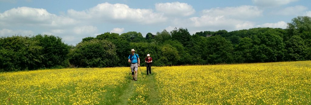
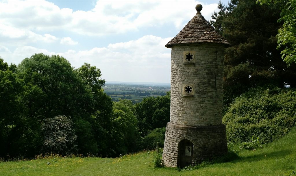
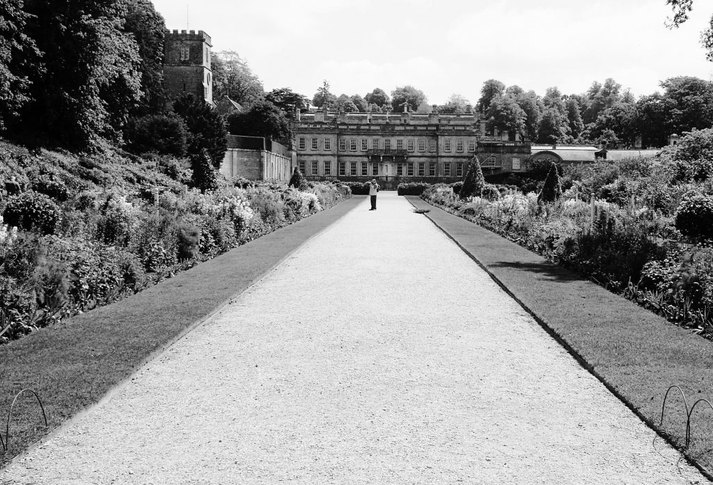
I don’t like walking towards cities as the last day of a trek so we started by walking out of Bath heading to the hills. We started at Bath Abbey with easy walking out of Bath and up to the Race Course. Then across fields and parkland.

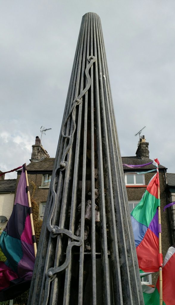
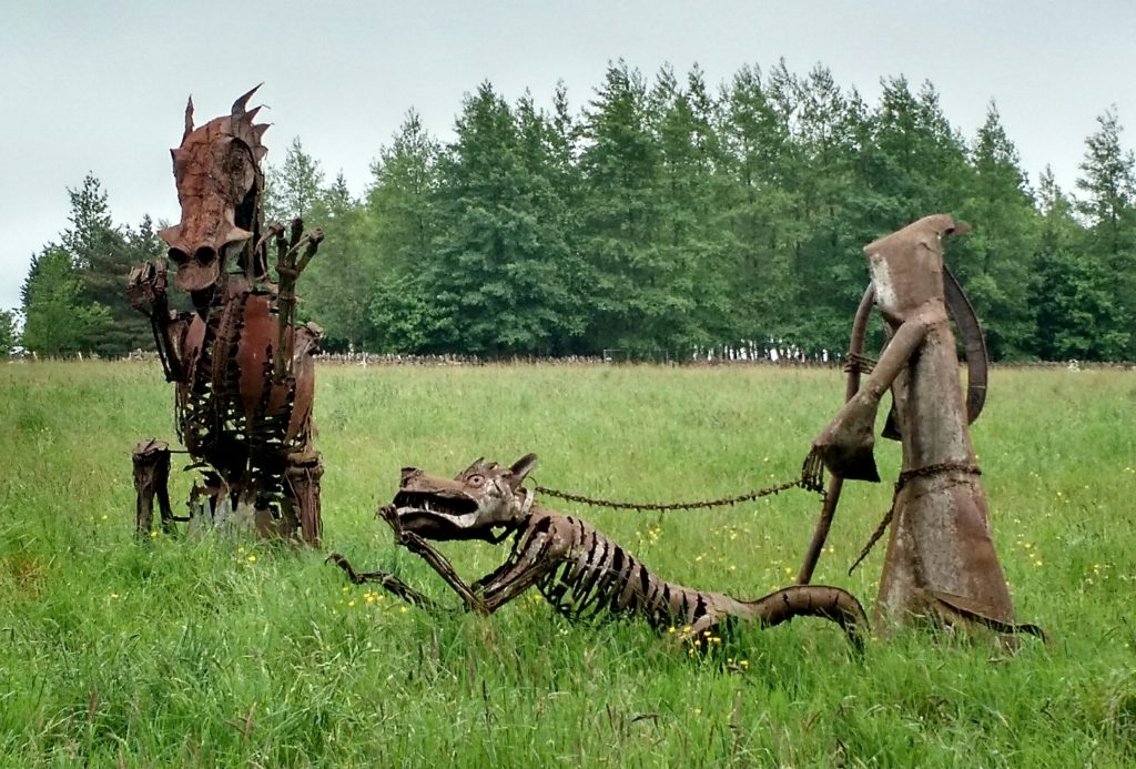
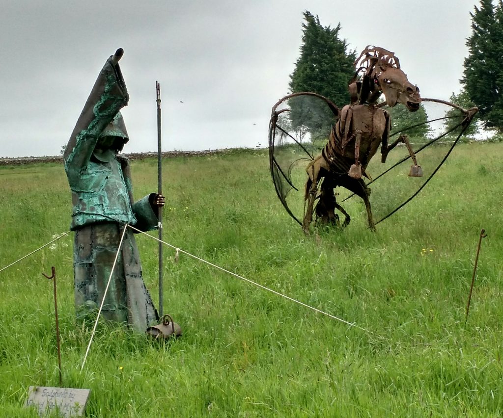
Just past a golf course on the tops, in a field beside the trail, were several metal fantasy sculptures. Not what we were expecting to see!

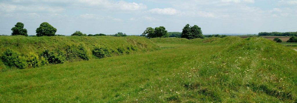
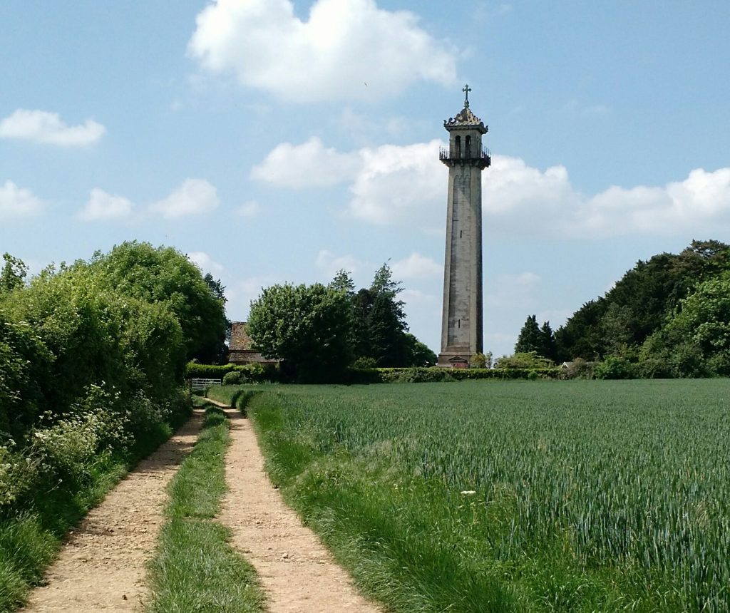
Further along we came to the English Civil War battlefield of Lansdowne, 1643. Lots of blue, red and gold posts marking the battle lines and a monument to one of the commanders who was killed. Apparently this is the oldest war memorial in the UK. Not a lot of people know that!

We came down and followed the Way into Cold Ashton where we had parked a car the day before. Unfortunately there is no pub in the village so I was dropped off 3 miles north at the Crown. Jan and Al drove back to Bath to collect our car. We’re using 2 cars for moving between our accommodation at the start and end of each day, leaving a car at each end. Since I had been dropped off at a pub to wait for them I thought I should have a pint of Wadworth 6X, well it would be churlish not to.

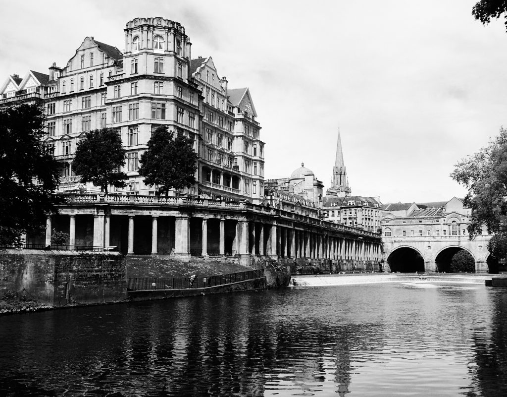
Bit of a dull day with a few spots of rain but not enough for waterproofs. Quite warm though. Just 2 photos on my Mamiya 7 camera of Bath Crescent. The light wasn’t good enough to take more.

Start of Cotswold Way outside Bath Abbey

IMG_20170524_155235

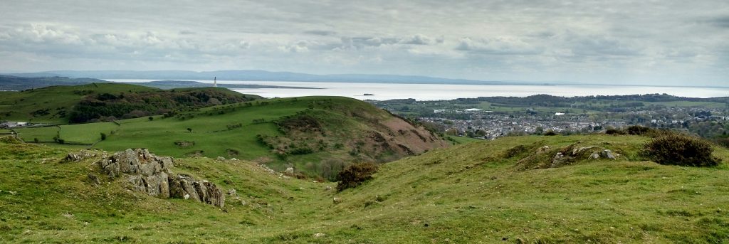
Battle of Lansdowne Views

IMG_20170524_160458

IMG_20170524_160320

Fantasy sculptures beside the Way

IMG_20170524_160151

IMG_20170524_160237

Cold Ashton to Old Sodbury

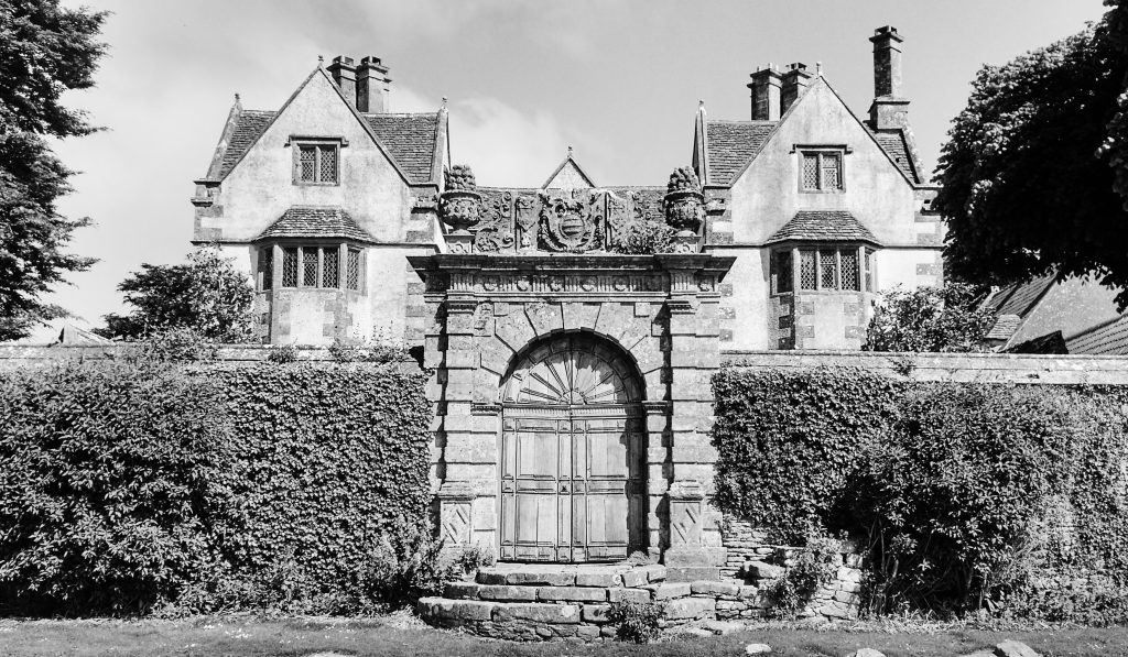
Cold Ashton has lots of old buildings in local Cotswold stone. The Hall and the Old Rectory were particularly striking.

Pretty, but not the most striking, countryside as we headed to the village of Tormarton and the Majors Retreat pub for our lunch stop. This is the last pub/hostelry on the route for those going south to Bath.

Fantastic lunch at the Majors Retreat in Tormarton. Huge wedge of bread and home cooked ham for the ham sandwich that Jan and I shared. 4 real ales on, Al and I both had Pigs Ear Bitter.

From here it was less than 3 miles to Old Sodbury and the end of the day. I was left in The Dog Inn drinking Wickwar BOB Bitter while Jan and Al drove back for our car.

Much better weather today, sunny and warm all day. I took just 8 photos today on my Mamiya 7 camera in Cold Ashton and of Dyrham Hall.
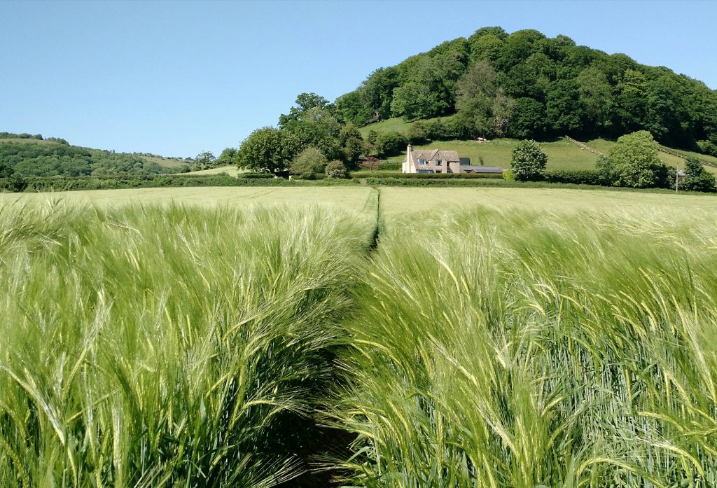
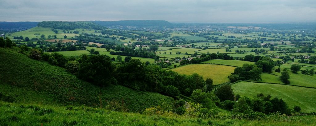
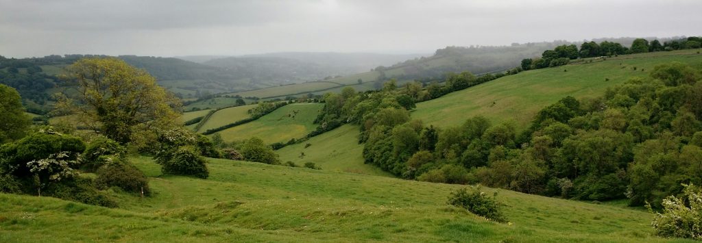
Dyrham HouseIMG_20170524_161658 Cotswold ViewIMG_20170524_160908 
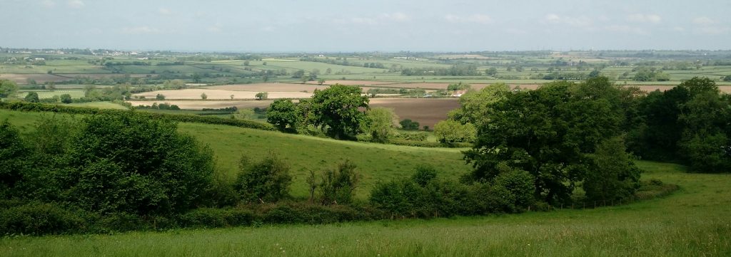
Cold Ashton Old Rectory
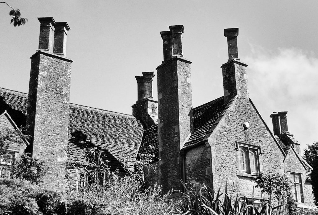
IMG_20170524_160819Cold Ashton Hall IMG_20170524_160659

Bath Photos

We came down to Bath to meet best friend Al from Gloucester to walk the second half of the Cotswold Way. In fact we came down a day early so that we could take some photos around Bath. The weather was great and it wasn’t too busy for taking pictures.

I used my trusty Mamiya 7 camera with 43mm and 65mm lenses. Mostly it was blue sky so I used orange filters. For a few shots in the afternoon I used red to darken the sky dramatically. I ran off 7 rolls of Ilford 120 film, 6 x FP4 and a 400 Delta.

To give you an idea of what I took here are some images taken on my Motorola Moto-X phone.

IMG_20170524_155021

IMG_20170524_160022

IMG_20170524_154853

Setting up for a shot of Pulteney Bridge area, Jan took this one

IMG_20170522_105826205_HDR

Cumbria Way day 8, Lowick Bridge to Ulverston; the End

Saturday 29th April 2017, our final day on the Cumbria Way! It was a dull and chilly start as we left the Red Lion in Lowick Bridge. What a friendly little village pub owned and run by Steve and Lucy. Big room, good food, 3 real ales and fast WiFi.

The route mainly crossed fields and rough ground, then quite a few wooded areas with lots of Bluebells.

Then we were coming down the last hill into Ulverston. I couldn’t believe it, there were flags everywhere. Obviously put out to welcome us at the end of the walk! Well it was a nice delusion for an instant, Ulverston is covered in flags.

We came down to the car park where the Cumbria Way starts and finishes but it was filled with a funfair. Difficult to spot the official end, after circumnavigating the car park we found it hidden by flags.

The end.

A total of 82 miles with my detours, 8 days walking, 8 mountains/hills less than an hour of rain in total.

As far as the photography was concerned, I used 6 rolls of Ilford 400 Delta 120 film (60 negatives) in my Mamiya 7 camera with 65mm lens. The only other camera gear carried was a Sekonic 758 spot meter, spare batteries and 3 filters (yellow, orange and red) although I mostly just used the orange as the skies were pretty good. It was all carried in a LowePro Toploader case on a shoulder harness. The lid pocket was large enough for my Satmap 12 GPS and whatever Harvey’s map I was using each day (OS maps are too bulky).

The Cumbria Way sculpture in Ulverston

IMG_20170503_112707

Laurel and Hardy statue

IMG_20170503_112838 IMG_20170503_112518 IMG_20170503_112301 IMG_20170503_112111 IMG_20170503_112013 IMG_20170503_111912 IMG_20170503_111545 IMG_20170503_111334